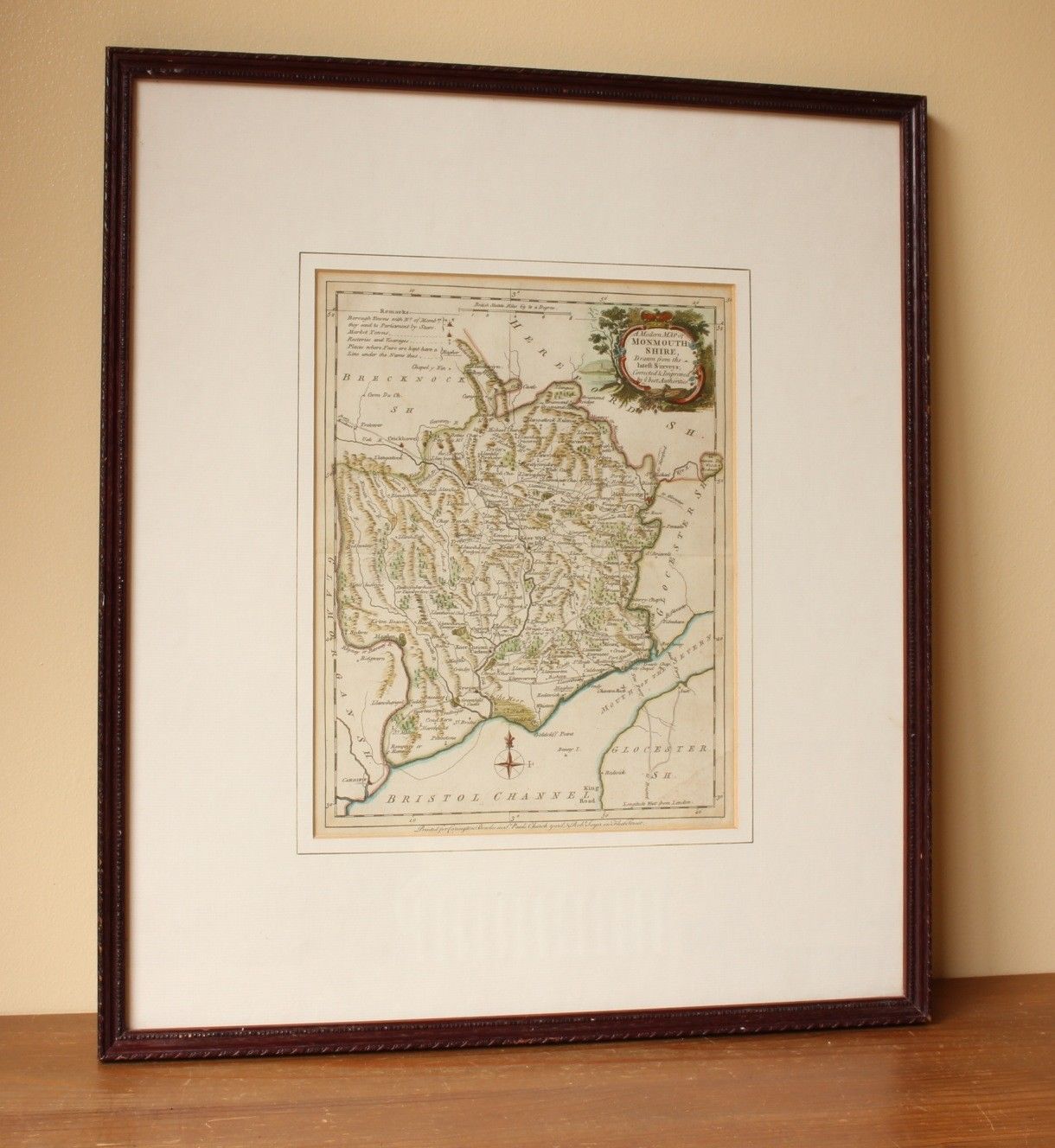
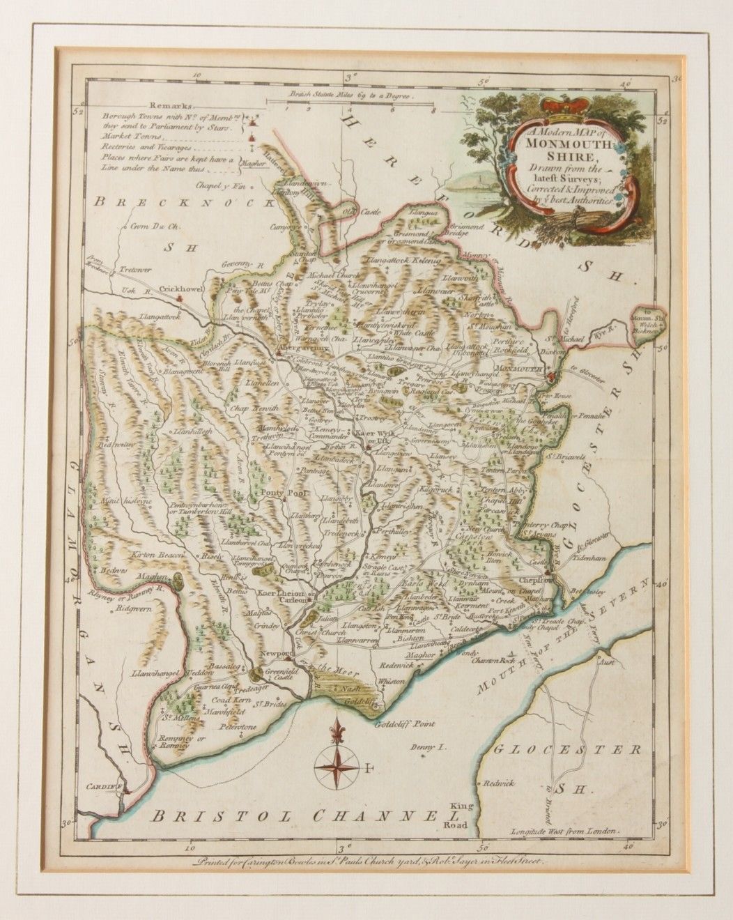
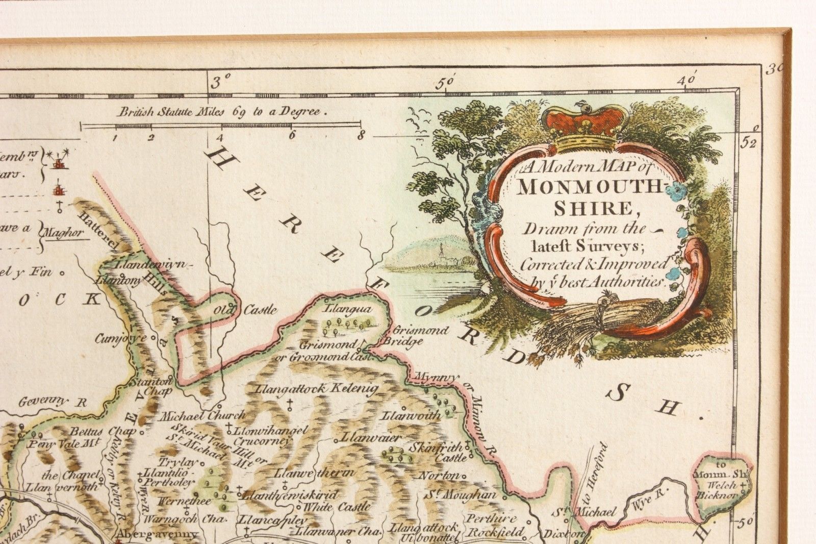
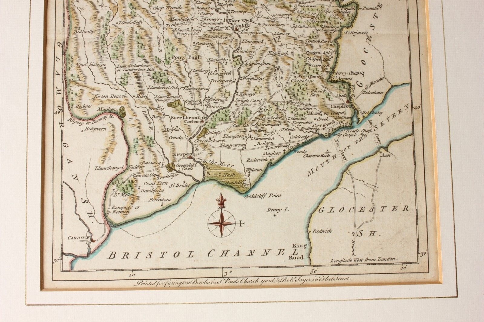
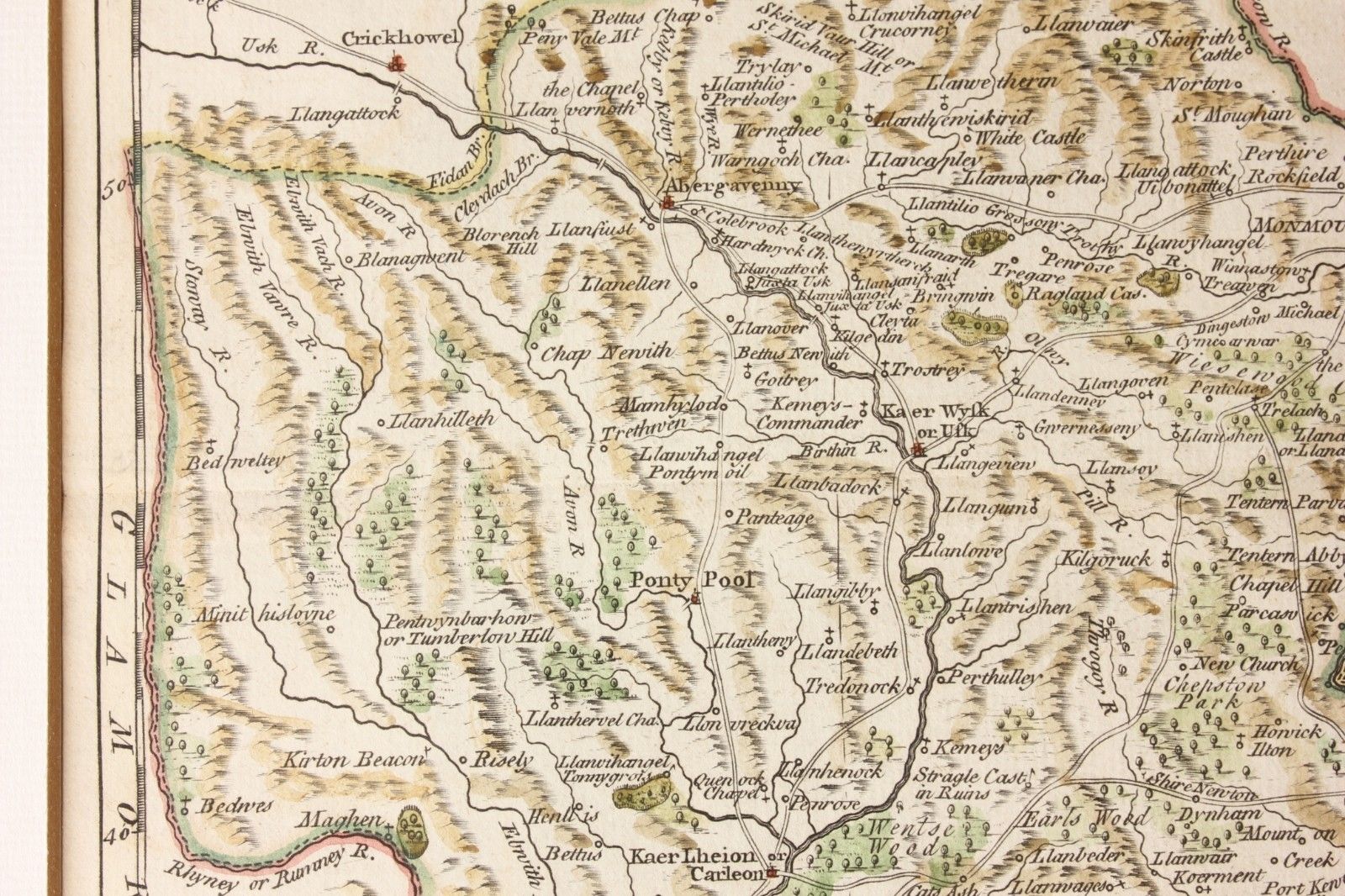
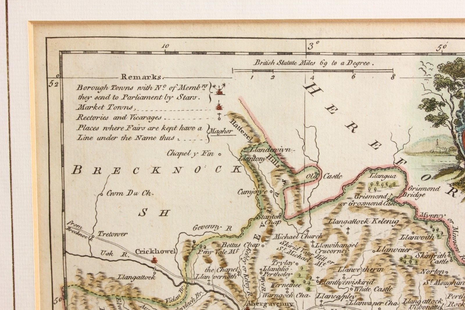
1765 Map of Monmouthshire by J. Ellis.
£95.00
An interesting and scarce antique map of Monmouthshire that dates from c1765.
This genuine antique copper plate printed map is by J Ellis and includes Monmouth, Newport, Chepstow, Usk, The Bristol Channel and others.
The map, which has some hand colouring, was published in London between 1765-1768.
Framed, glazed and ready to hang.
Frame size: 46 cm x 40 cm - 18" x 16" approx.
Printed area: 26 cm x 20 cm - 10" x 8" approx.
Condition: Scarce Genuine Antique map, which has some slight discolouration/staining and foxing. Please see pictures. Framed, glazed and ready to hang.
Free UK Delivery
Allow 3 - 5 working days for delivery. Express delivery can be arranged.
Can be shipped worldwide. Please contact us for a quote.