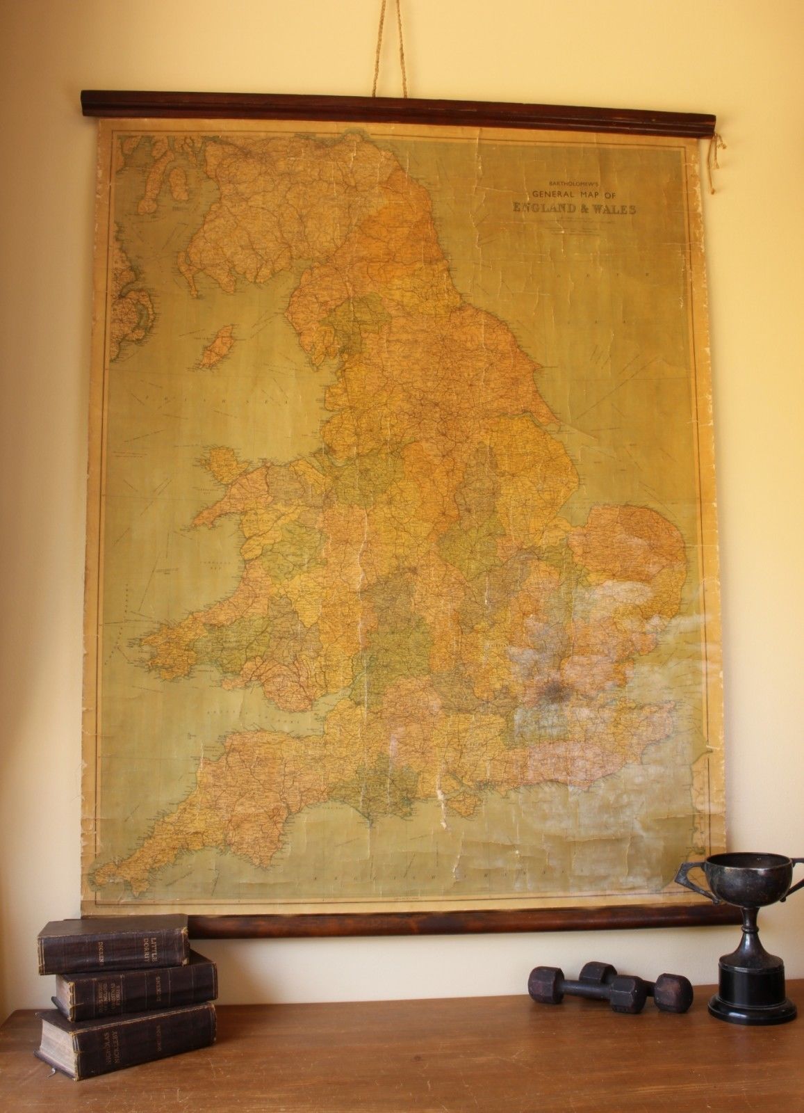
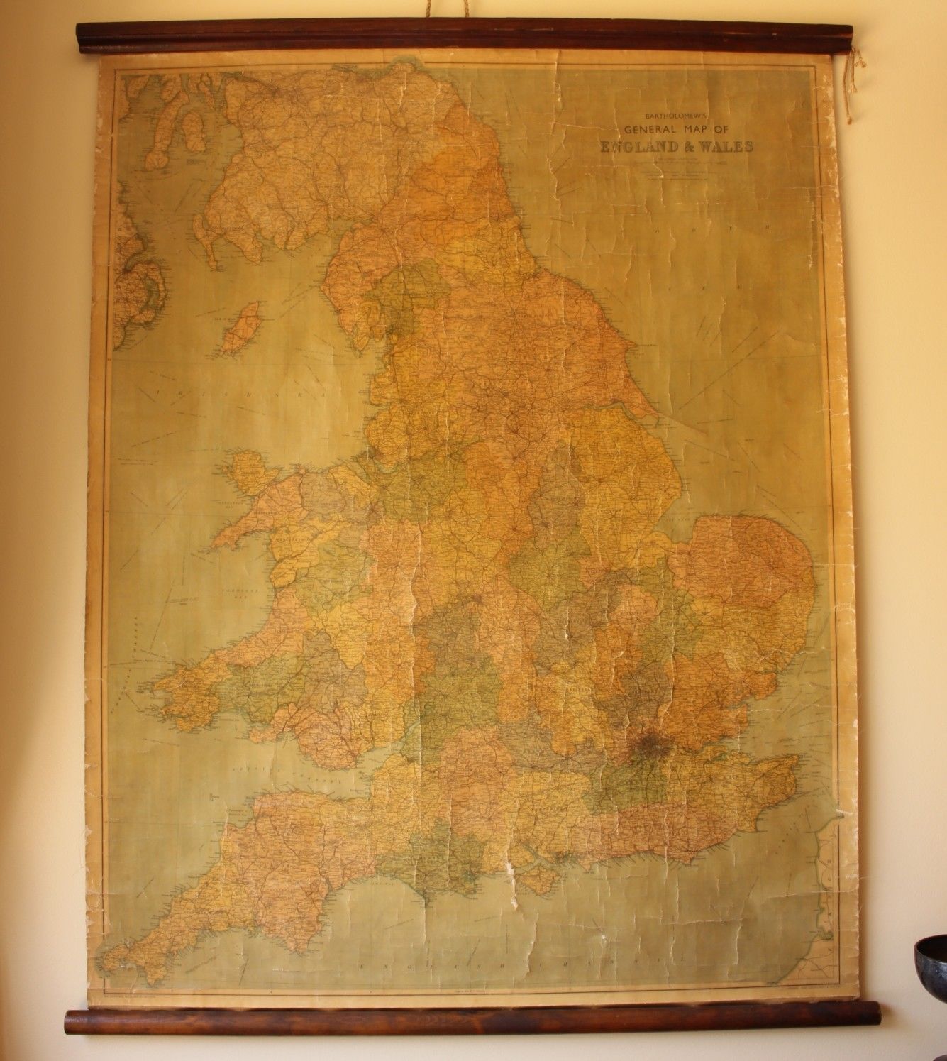
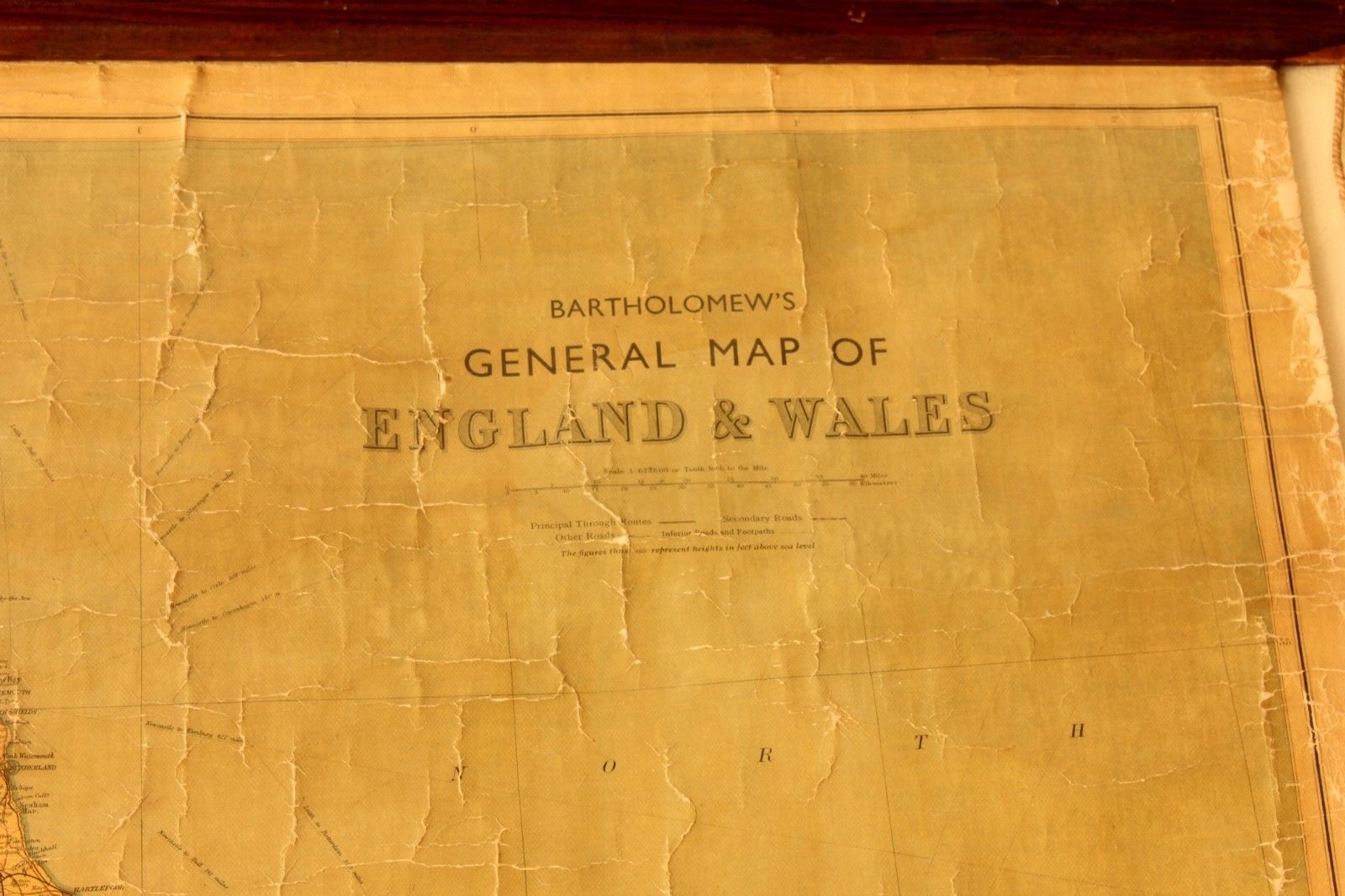
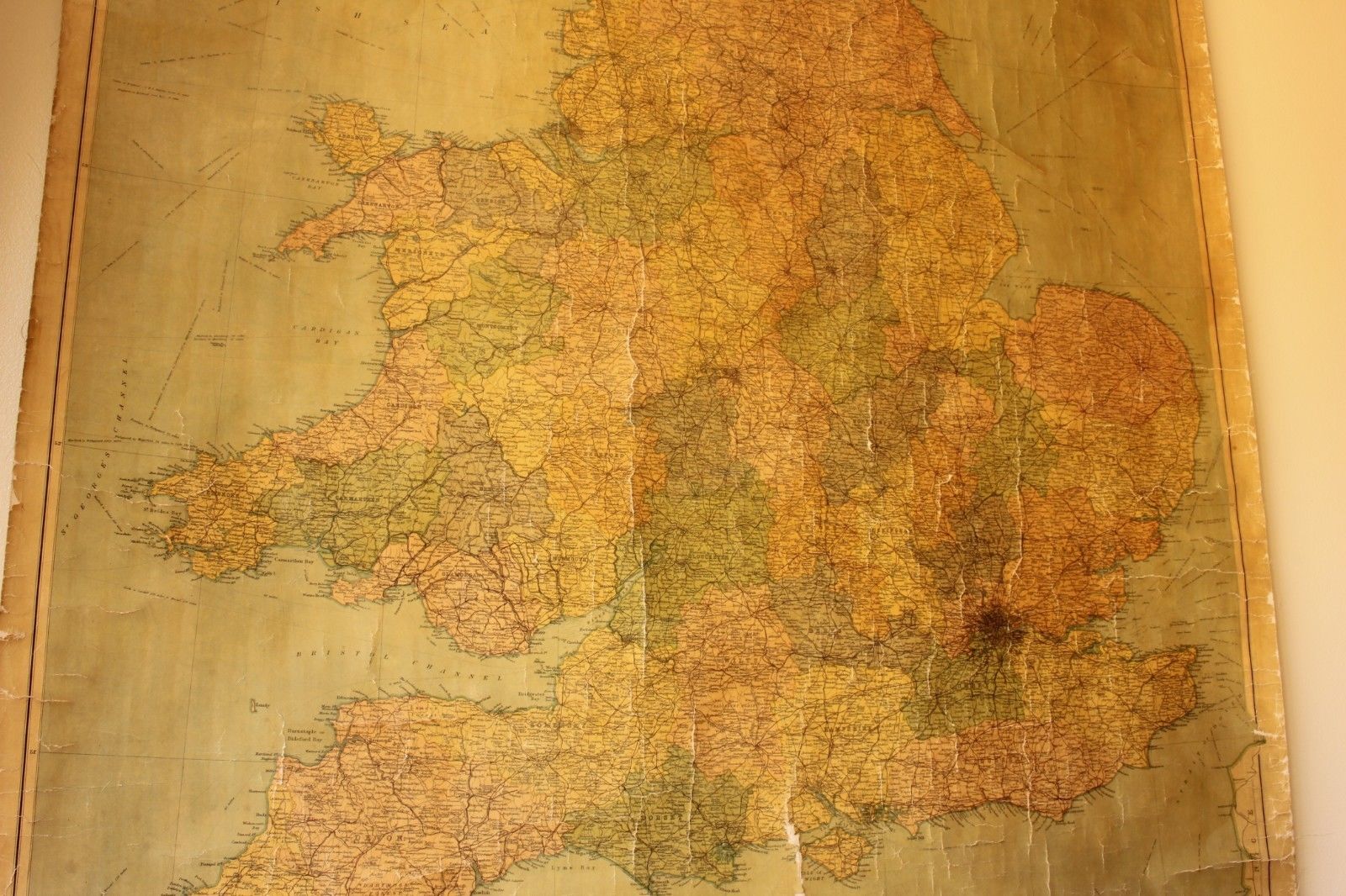
Vintage Bartholomew's General Map of England and Wales. Hanging Wall Chart.
SOLD
Missed this item? Please contact us to add similar to your wanted list.
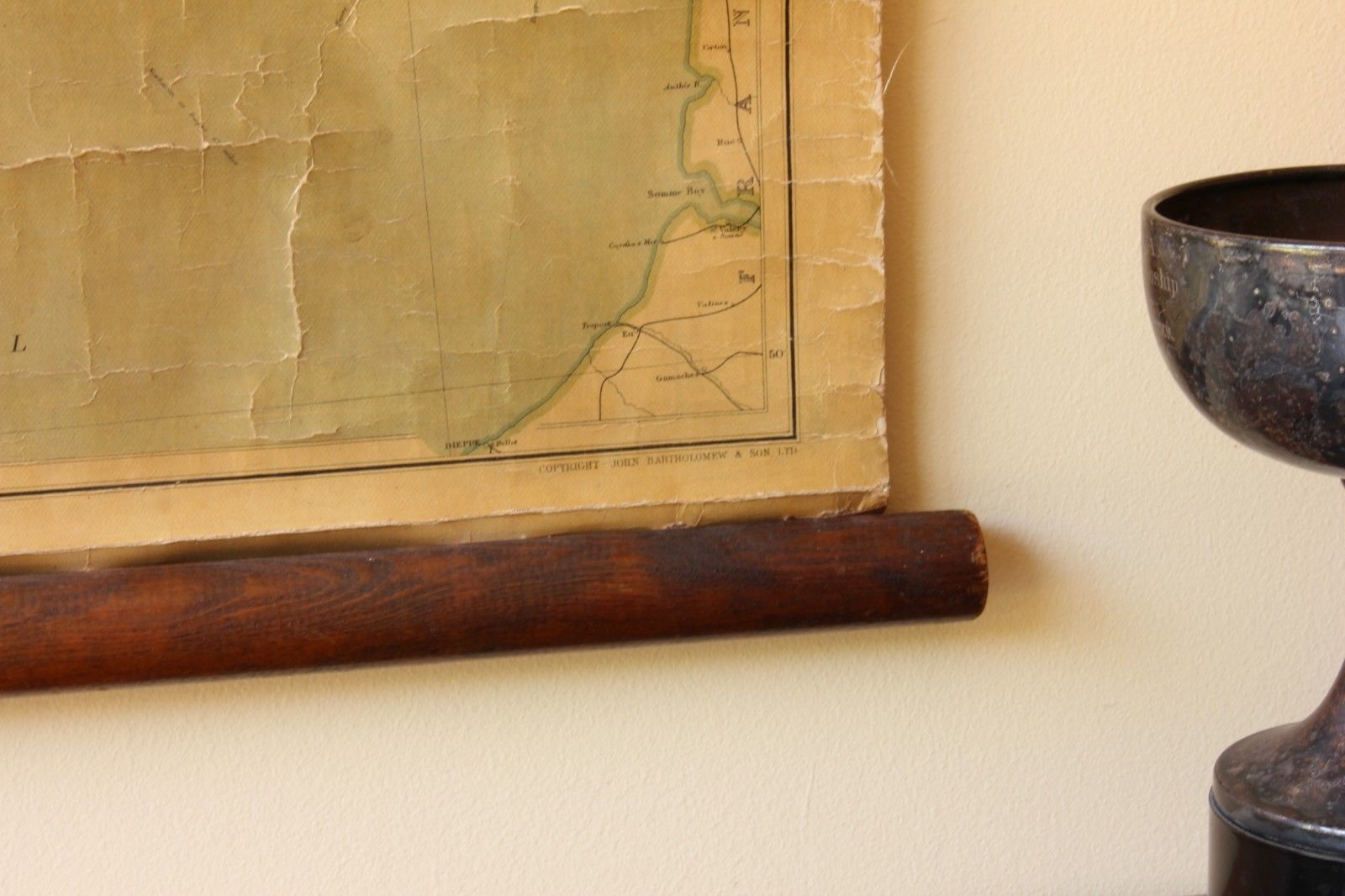
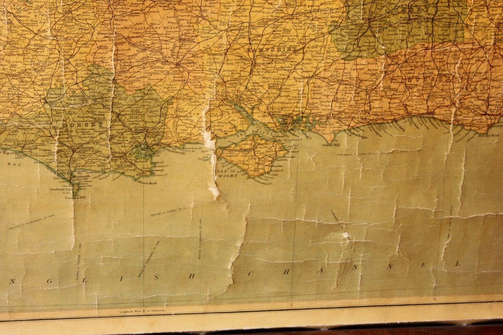
This authentic vintage / antique Hanging Wall Map of England and Wales is by John Bartholomew & Sons Ltd and published by The Edinburgh Geographical Institute. It dates from the first half of the 20th century and is in a nice decorative condition.
The large size linen-backed map is supported by wooden battens and has a cord attached to the top for easy hanging. Looks great displayed on a big wall.
Map size: 108 cm - 42 1/2" x 86 cm - 34" approx.
Condition: Nice decorative condition with some slight discolouration/staining and cracking. Some very small tears / fraying to edges. Please see pictures.
Free UK Delivery
Allow 3 - 5 working days for delivery. Express delivery can be arranged.
Can be shipped worldwide. Please contact us for a quote.