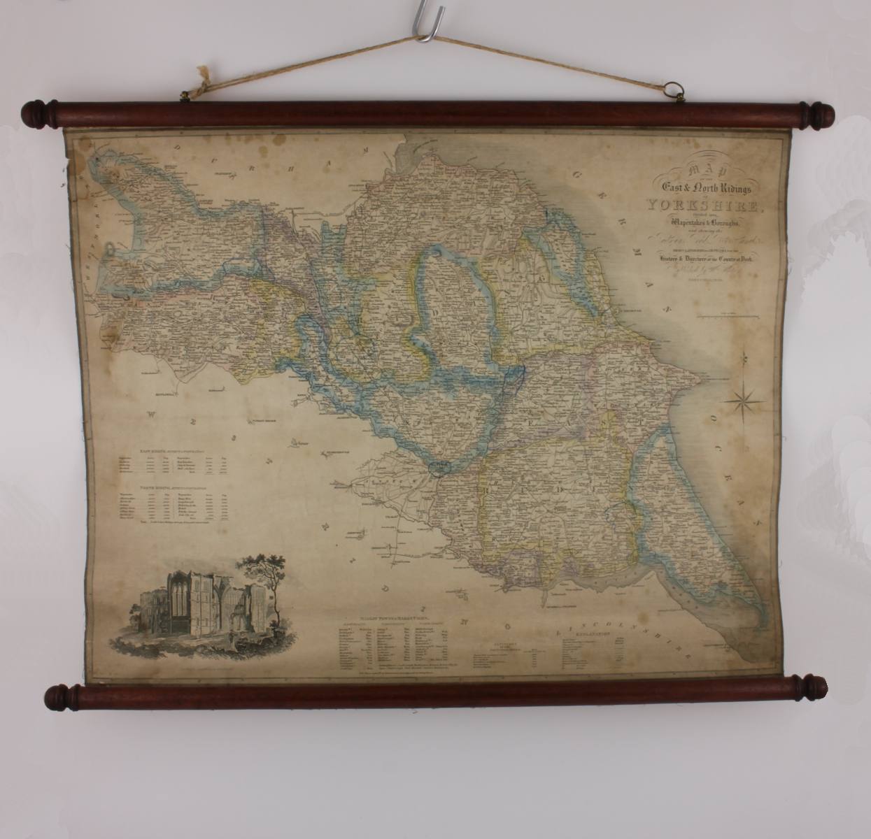
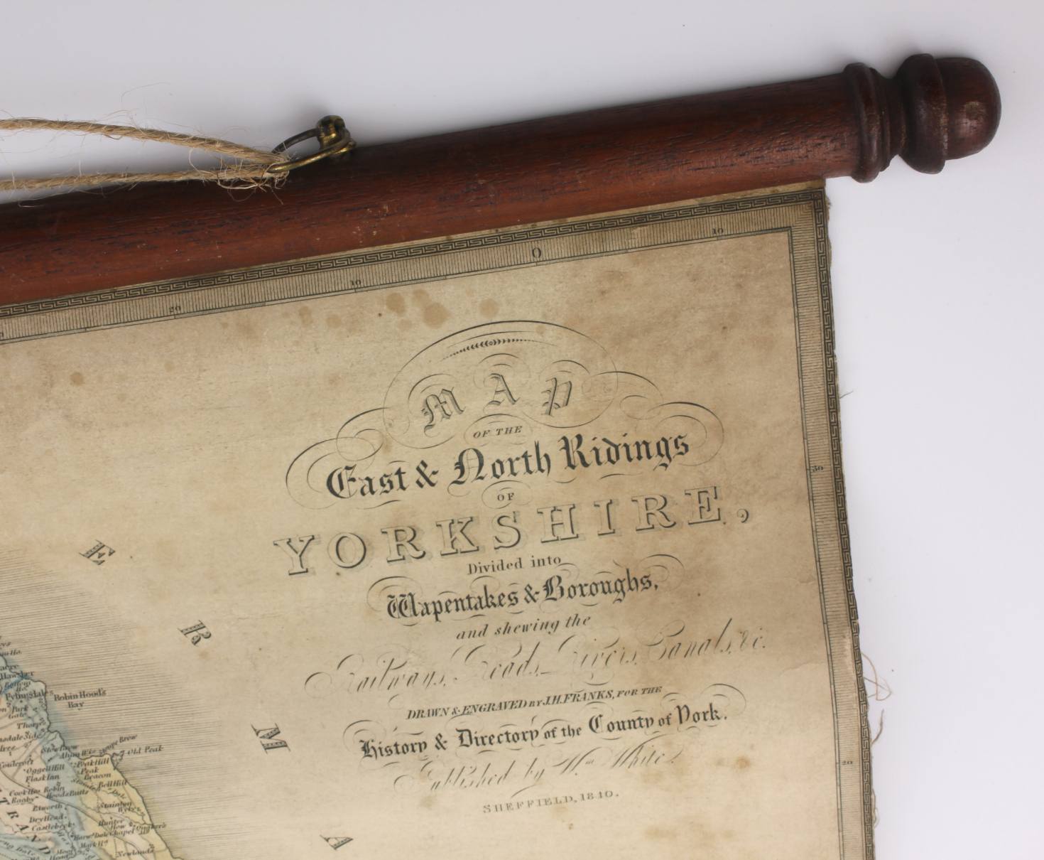
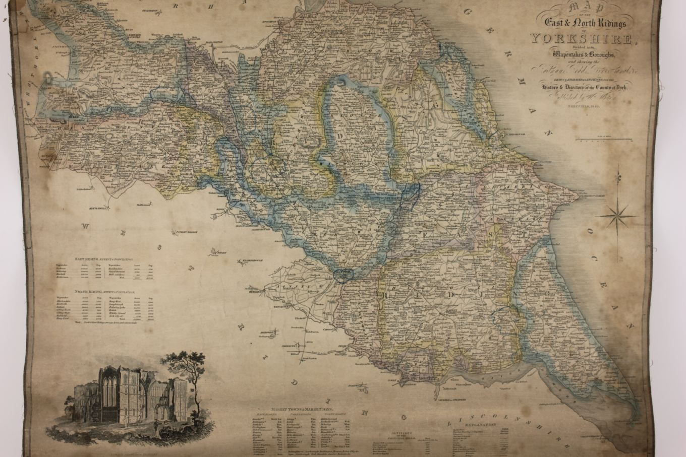
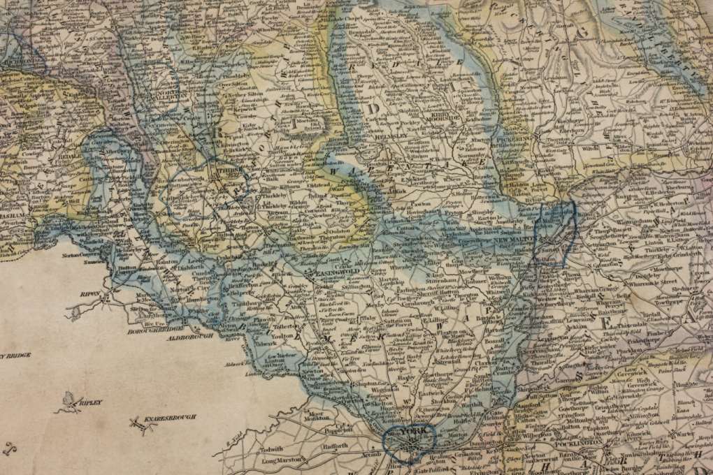
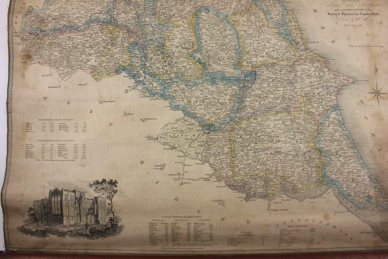
East & North Ridings Yorkshire Linen Hanging Wall Map. JH Franks. 1840.
Stock Number: YWM18401826
SOLD
Missed this item? Please contact us to add similar to your wanted list.
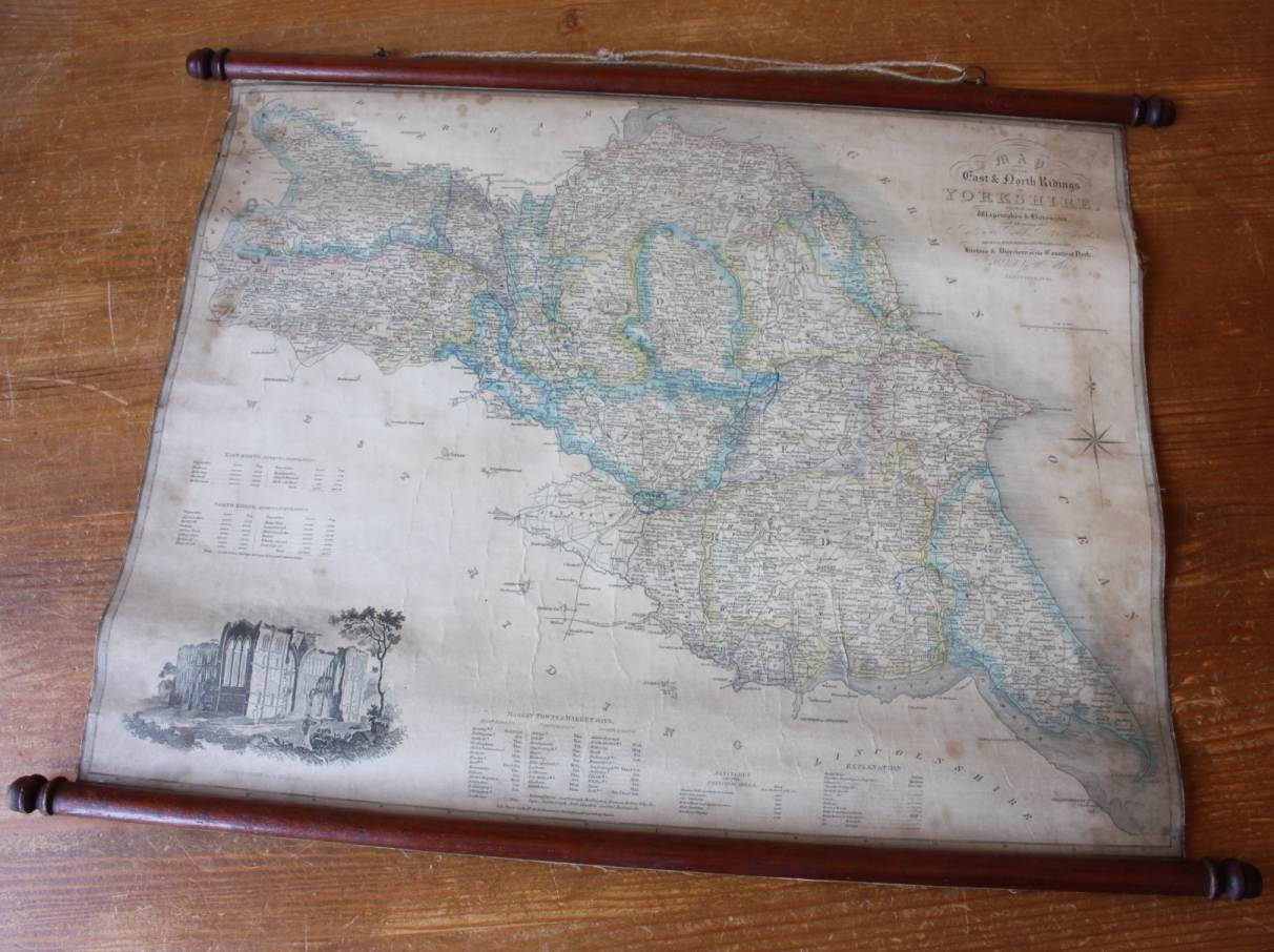
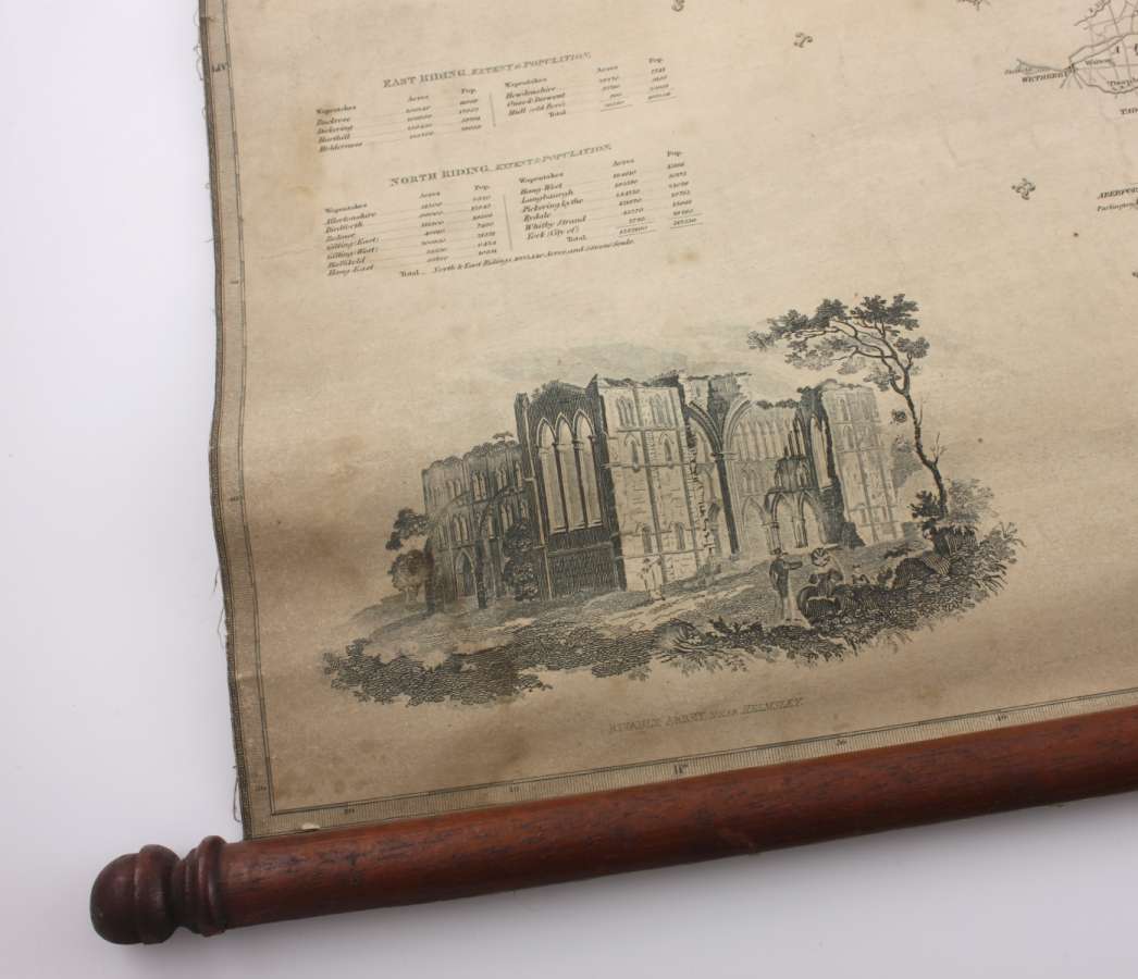
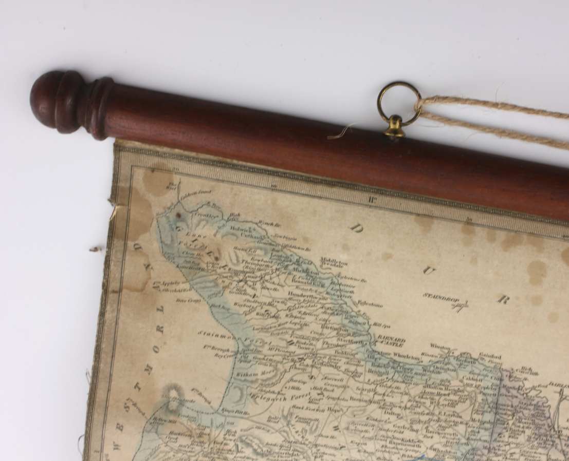
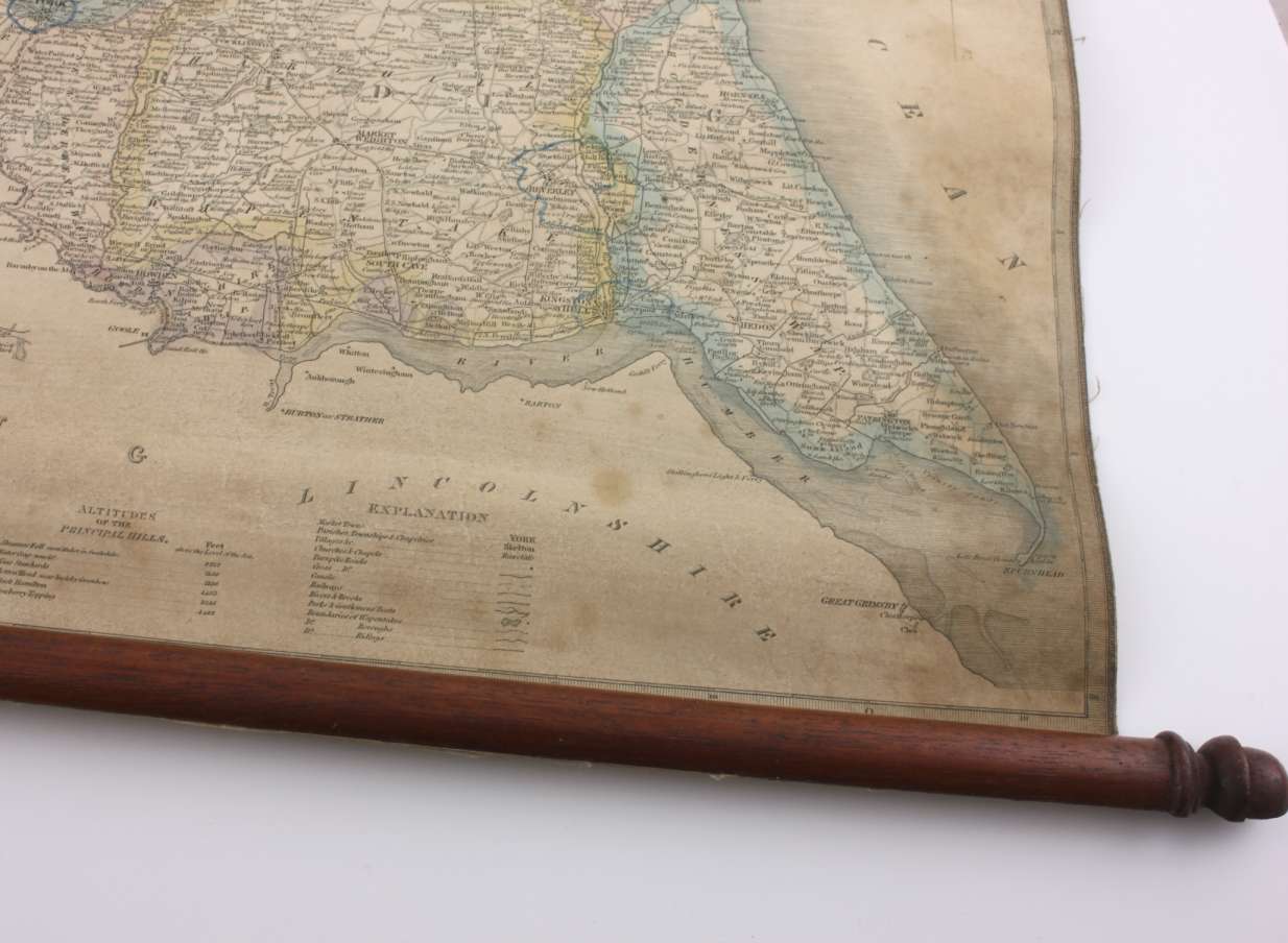
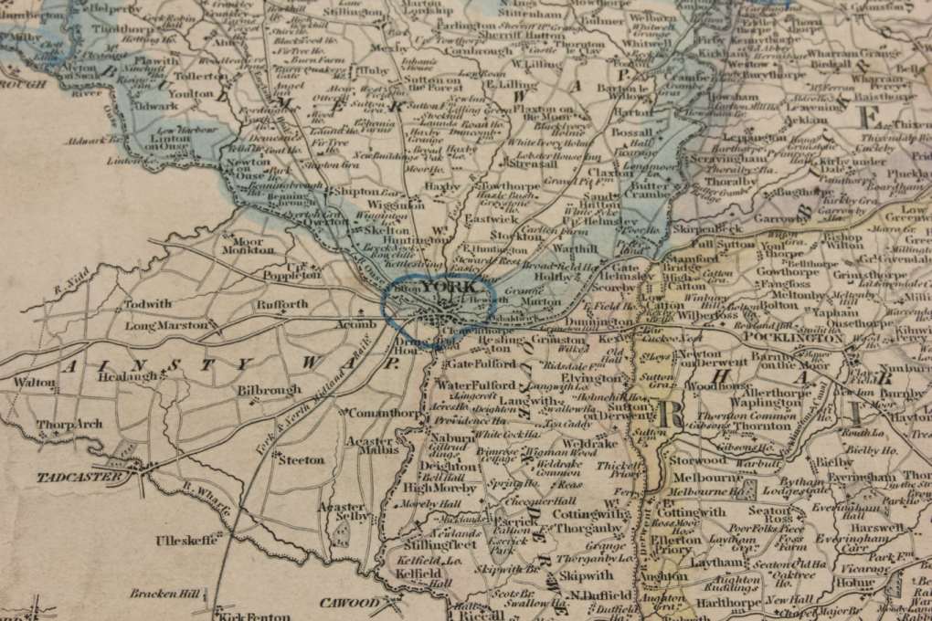
This genuine and interesting 19th century wall map of East & North Ridings, Yorkshire which is drawn and engraved by J.H. Franks for the History and Directory of the County of York is published by William White of Sheffield in 1840.
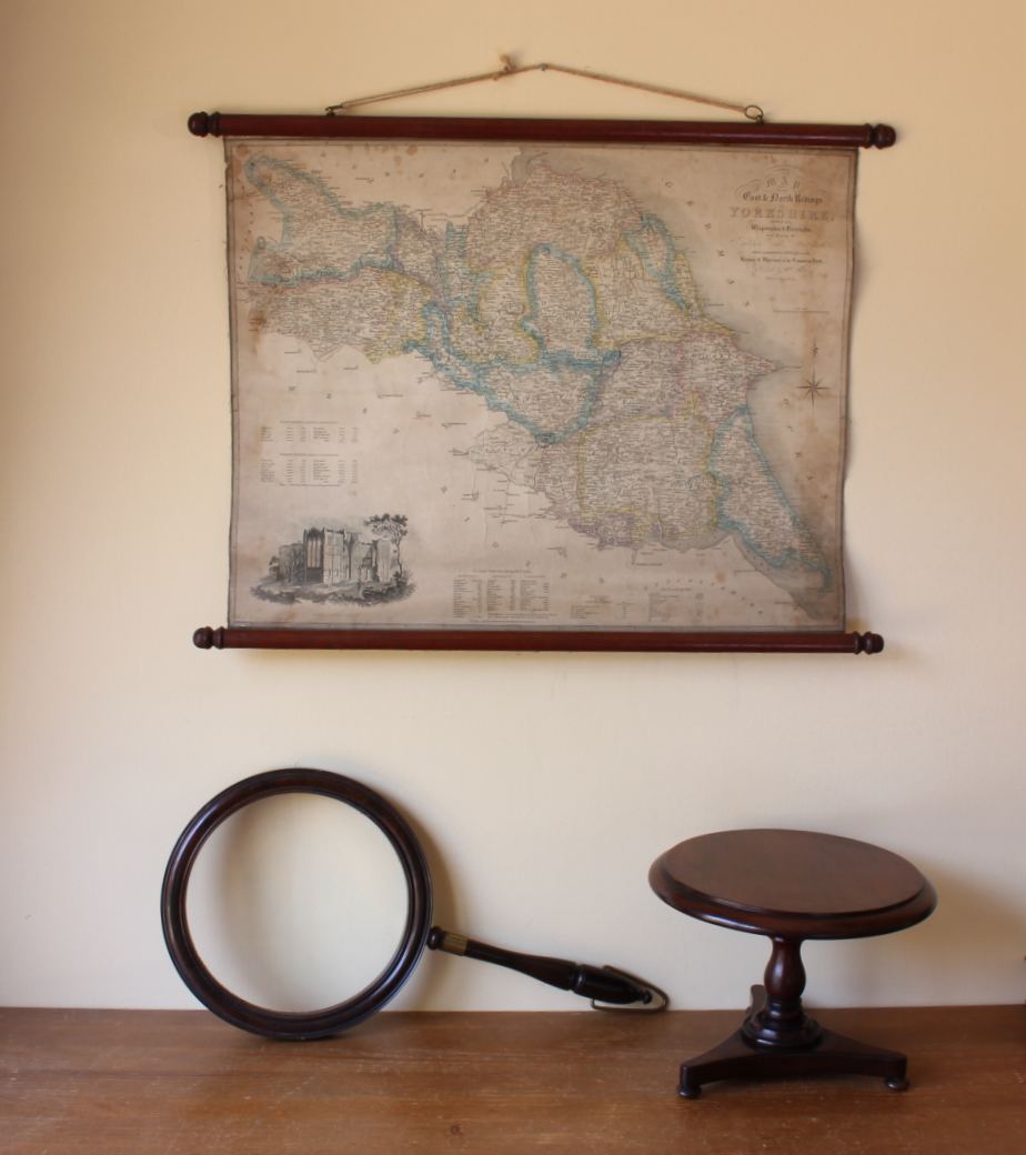
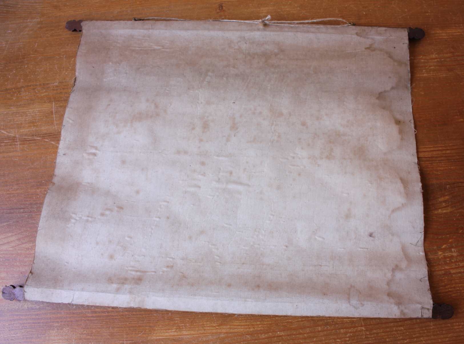
This fascinating map which is linen backed and mounted with mahogany scrolls to the top and bottom looks great hung on a wall. This map has a wonderful aged look with beautiful patination and is unusual being mounted with the wooden scrolls.
A very nice map in good original condition which looks fantastic on display in the home or ideal for use in a hotel, shop, man cave or prop.
Date: 1840.
Drawer and engraver: J.H Franks.
Publisher: William White, Sheffield.
Dimensions: 58 cm (22 3/4") Length. 44 cm (17 1/4") Height.
Condition: Good antique decorative condition with signs of use in keeping with age. Some discolouration/staining and foxing. Light creasing. Please see pictures.
Please note that only the map is included and any other items in the pictures are for scale only.
Free UK Delivery
Allow 3 - 5 working days for delivery. Express delivery can be arranged.
Can be shipped worldwide. Please contact us for a quote.